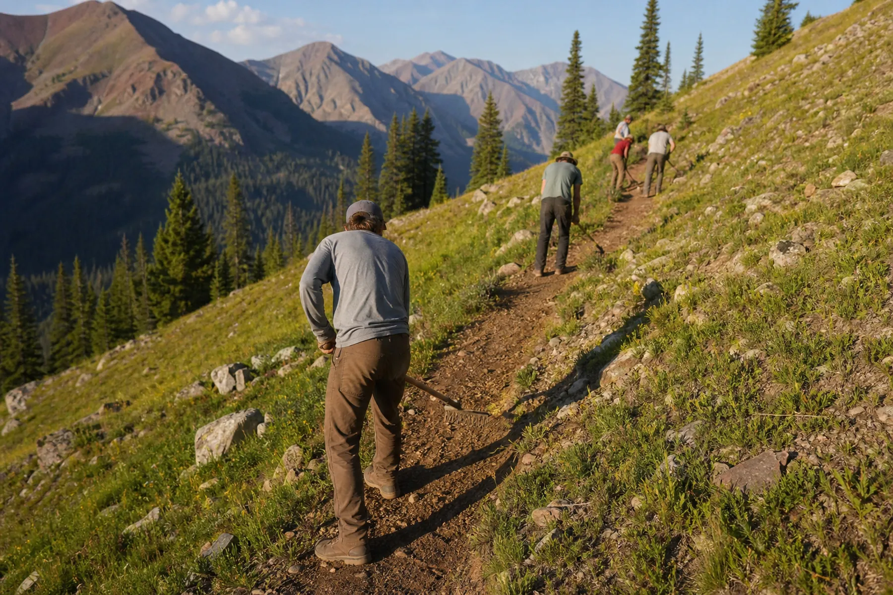
Trail services
Everything from the first walk of the ground to the plan your board can fund and the crew you can train — delivered by one company that has been doing this since 1994.
Trail Layout & Design
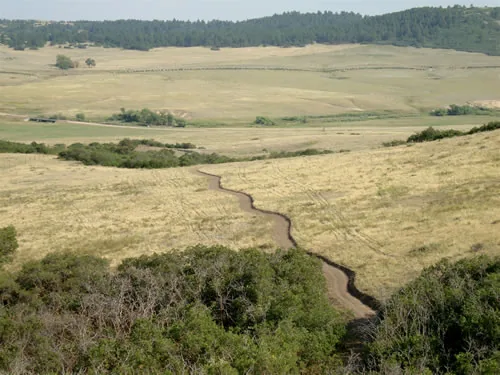
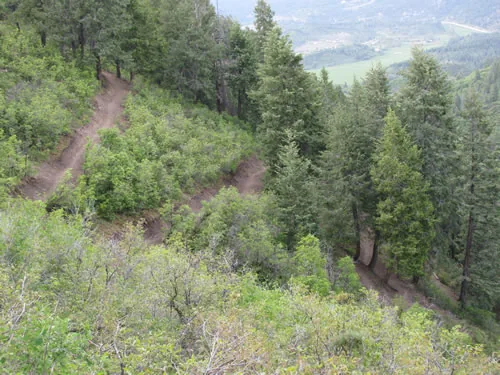
When trails are designed and constructed correctly they require a minimal amount of maintenance in the long run. When a trail is poorly designed — excessive grades, no rolling dips to shed water — it costs more to maintain every single year, even if it was built well.
Our crews are trained to use sustainable design principles: keep average trail grade to 8% or less in most soils, align the trail with the natural topography in a rolling contoured design, and make sure water exits the tread often. Trails in flat areas have inherent drainage problems and are either avoided or built with special techniques.
We have turned down trail projects because they simply were not sustainable and we were not comfortable being involved with a trail that would inevitably become a maintenance nightmare.
- Field flagging and staked alignment
- Grade and drainage design
- Reroutes of failing trail sections
- Rolling grade dips as the standard drainage feature
From the Arrowhead Trails project archive.
Sustainable Trail Construction
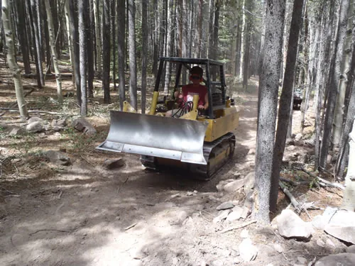
Our trails are constructed using sustainable construction. The specifications vary slightly depending on site characteristics and the user goals of the actual trail — in areas with a lot of mountain bikers we recommend leaving more protruding rocks, which adds technical challenge but, more importantly, slows riders down and reduces conflict with hikers and equestrians.
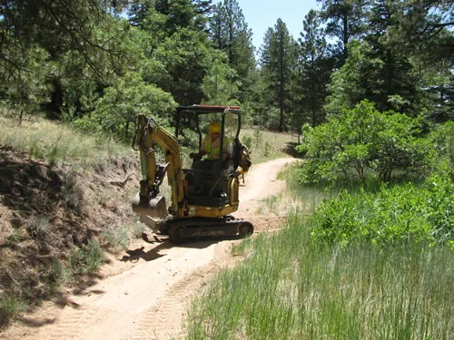
Corridor clearing is confined to within 2′ of the trail and backslope edges. Cut limbs and brush are lopped and scattered to a maximum height of 18″, with no debris left within 20′ of the trail. Tread, backslope, shaping, outslope and drainage features are excavated as full bench, then finish-raked and graded by hand.
- Full-bench excavation, hand-finished tread
- Written specification for every project
- One-year standard warranty
- Machine and hand crews on the same job
From the Arrowhead Trails project archive.
Trail Reconstruction
Numerous agencies continue to invest significant amounts of labor and money into trails that are not sustainable. Often the sections causing the most problems can be rerouted to sustainable grades in less time than it takes to fix them on an annual basis.
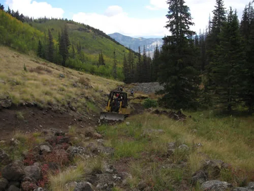
On the Fern Creek and Lost Trail Creek trails near Creede we widened and out-sloped tread, blasted and removed boulders, widened switchback turns and built substantial grade dips for safety and erosion control — over 11 miles of OHV-accessible trail across two seasons.
- Reroutes of unsustainable alignments
- Tread widening and out-sloping
- Rock work, boulder removal and switchback rebuilds
- Grade dips retro-fitted for erosion control
From the Arrowhead Trails project archive.
Trail Master Plans
Arrowhead Trails began developing master plans in 1997. Our experience lets us complete the field work and draft the written document in a relatively short period of time, and we work closely with clients to produce documents that are clear, concise and actually get used.
Plans often include budget information so clients can implement in-house or use the numbers to go after grants when staff and funding aren’t available. A typical plan runs from scope of work and trail definitions through individual site assessments (each with a GIS map and data inventory sheet) to a full set of technical drawings.
- Individual site assessments with GIS maps
- Technical drawings: cross sections, grade dips, rock and timber steps, retaining walls
- Budget line items for in-house, volunteer or contractor delivery
- Trail maintenance and safety inspection forms
From the Arrowhead Trails project archive.
Maintenance Plans
Arrowhead Trails has developed trail maintenance plans for agencies, organizations and landowners. The plans include engineering stake logs with corresponding photographs and GIS-generated maps, so clients can easily understand what is needed and how to budget appropriately to implement it.
These plans often contain hourly estimates for implementing tasks with staff and volunteers, as well as line items for implementing the same tasks with a trail contractor. Trail specifications are included so the plan can be adapted straight into a public bidding process.
- Engineering stake logs with geo-referenced field photos
- GIS maps organised geographically
- Hourly estimates for staff, volunteers or contractors
- Specifications formatted for public bidding
From the Arrowhead Trails project archive.
GIS & GPS Trail Mapping
In addition to design and construction, Arrowhead Trails provides cartography and GIS mapping to agencies, organizations and private landowners. We offer advanced GPS trail system mapping and evaluation, and can help clients assess and prescribe trail system maintenance organised geographically using GIS.
Data collected in the field can be overlaid on aerial photographs, topographic maps, soils layers, property ownership layers and geo-referenced scanned paper maps. The resulting maps can carry trail data alongside other property attributes — forest stand types and acreages, soil types, land use, and river and road frontage lengths, to name a few.
- GPS field data collection
- Aerial map interpretation
- Full-colour cartography
- Trail system assessment and prioritisation
From the Arrowhead Trails project archive.
Crew & Volunteer Training
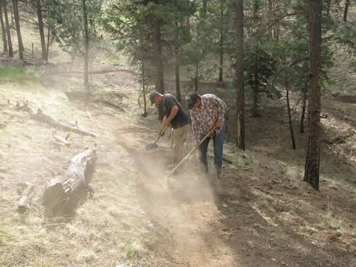
Our experience training and supervising volunteers and staff is extensive. Arrowhead crews have developed sustainable trail building and maintenance programs that are then run by volunteers and park staff. Programs like the Boulder Regional Conservation Crewleader Program, developed in 1993, have trained hundreds of volunteers to assist agencies with their trail management needs.
On National Trails Day projects, Arrowhead staff have trained and supervised over 500 volunteers for more than 2,500 hours of new trail construction. Almost four miles of new trail were built on those projects and no injuries occurred — except blisters and sore muscles.
- One-day workshops or week-long professional intensives
- Project planning, trail logs, tool use and safety
- Construction specifications and techniques
- Volunteer and crew management, mechanized construction
From the Arrowhead Trails project archive.
Accessible & Crusher-Fine Trails
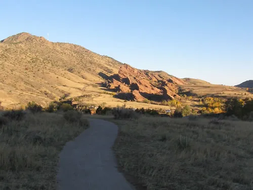
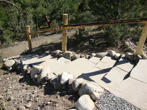
We construct accessible trails that meet the Americans with Disabilities Act Guidelines. Built properly, crushed stone trails can meet the ADA Accessibility Guidelines: angular particles like andesite, dolomite and certain types of granite can be wetted and compacted to meet ADAAG.
Recent surfaced work includes a 48-inch crusher-fine interpretive trail with five interpretive stations connecting the Morrison Natural History Museum to the Mt. Falcon Open Space trailhead, and a 1,700-foot accessible trail for the Town of Buena Vista.
- Crushed stone surfacing to ADAAG
- Interpretive trail construction
- Grade, cross-slope and width held to specification
- Suitable for wheelchairs, strollers and school groups
From the Arrowhead Trails project archive.
Pump Tracks & Bike Parks
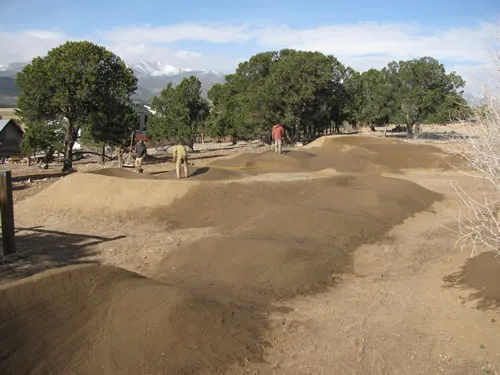
Arrowhead has built pump tracks for the Town of Salida, the Town of Breckenridge, The Link School in Buena Vista and a number of private clients. The Salida town track was planned with the Salida Mountain Trails organization and opened with a beginner loop, an intermediate loop and an advanced loop.
One intermediate backyard track runs over an eighth of a mile and contains two 180-degree berms, seven 90-degree berms, five half-berms and over forty rollers. On that project we opted out of buying and importing dirt and instead dug the track into the ground with a mini-excavator.
- Beginner through advanced loops
- Berms, rollers, dirt jump lines, skinnies and ladders
- Native-material construction where the site allows
- Public parks, schools and private property
From the Arrowhead Trails project archive.
Trail Consulting
Arrowhead Trails offers professional services to government agencies, non-profit organizations, land trusts, ski resorts and private landowners. We pride ourselves on being useful whether you are just starting a trail program or you already have a trail staff of twenty.
By combining outside funding sources such as grants and corporate sponsors with a professional trail contractor implementing the project alongside local volunteers, clients can carry out trail projects with minimal budget and staff impact.
- Feasibility studies and route options
- Grant and funding strategy
- Specification and bid document review
- Volunteer program design and supervision
From the Arrowhead Trails project archive.
Six steps, in this order, every time
Walk the ground
We start on foot with a clinometer and a roll of flagging. Grade, soil, drainage and sight lines decide the line — not a line drawn on a map in an office.
Design and flag
The alignment is designed to sustainable grades, staked and flagged, and walked with you before a single machine moves. Small mistakes at this stage become permanent maintenance commitments.
Clear the corridor
Corridor clearing is confined to within two feet of the trail and backslope edges. Cut material is lopped and scattered low, and kept well back from the tread.
Cut full bench
Tread, backslope, outslope and drainage features are excavated as a full bench — by machine where the side slope allows, by hand where it doesn’t.
Finish by hand
Every project is finish-raked and graded by hand: tread, backslopes, downslope spoils and each water diversion structure.
Come back and check
We often check on our projects for several years after construction, so anything that shows up in the trail’s first seasons of use gets taken care of immediately instead of becoming a problem.
What “built right” actually means
The published Arrowhead specification. Specifications vary slightly depending on site characteristics and the intended users of the trail.
- Average grade
- 8% maximum average trail grade in most soils
- Maximum grade
- 12% absolute maximum, checked with a clinometer
- Singletrack tread
- 18–24 inches wide
- Multi-use tread
- 4–6 feet wide
- Tread outslope
- 3–6%, checked with a digital level
- Backslope
- Constructed between a 1:1 and 2:1 ratio
- Drainage
- Rolling grade dips as the standard water drainage feature
- Corridor clearing
- Confined to within 2 feet of trail and backslope edges
- Slash
- Lopped and scattered to a maximum height of 18″; no debris within 20 feet of trail
- Loose rock
- Nothing over 3″ left in the tread; larger rock placed on the downslope side
- Woody material
- Stumps, logs and brush over ½″ removed from the tread
- Finish
- Hand raking and grading of tread, backslopes, spoils and water diversion structures
Agencies, towns, non-profits and landowners
Clients have included
- municipalities
- counties
- federal agencies
- state parks
- ski resorts
- non-profit organizations
- cattle ranches
- land trusts
- irrigation companies
- river authorities
- private landowners
Trails built for
- hikers
- mountain bikers
- equestrians
- runners
- skiers
- snowshoers
- climbers
- anglers
- all-terrain vehicles
- physically challenged individuals